Recently, Strava Merlion keeps appearing in cycling Facebook groups.
Some call it Lion Head and I nicknamed it Singa too (lion mascot).

This is likely because Singapore is celebrating its 56th Birthday on 09 Aug 2021!
Creators use apps to plot out the “cartoons” and cyclists just trace the route via Strava or Google Map (GPX). This is my own Singa Google Map GPX, just open link in your Mobile Phone and follow.
As a bonus, you can try to cover 56km for SG56 celebration, and win some goodies from ActiveSG too.
However, just because everyone is doing it, does not mean it is easy. I share some tips in post below.
50km may not sound too drastic, but you can expect a minimum 4+ hour journey (if all pavement, expect 5+ hour). My average speed is 20kmh.

For those staying in North East area, maybe you can start from Shell Yio Chu Kang or maybe Houang Swimming Pool. I did an anti-clockwise version, as I did not want to face Thomson and Yio Chu Kang slopes on the return leg.
You will overshoot some junctions or duplicate some routes. No worry, your Singa map will still look good!

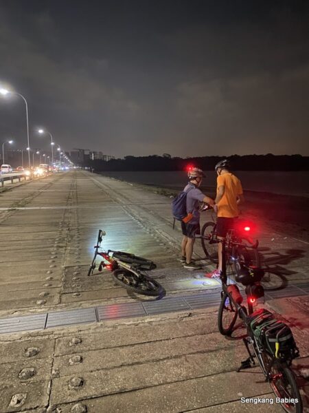
Above, behind bustop “Aft Yio Chu Kang Rd“. Photos below. Ang Mo Kio Ave 1 iconic circular block, and Sin Min.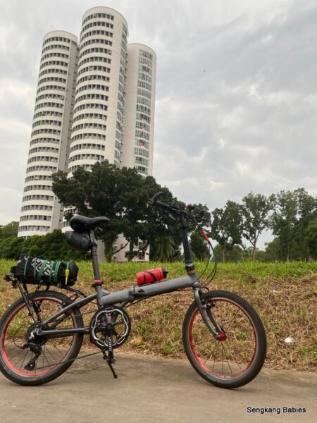

Junction of AMK Ave 1 and 6. You will touch Bishan Park at least 3 to 4 times 🙂
Everyone will plan differently, you can follow my direction below if you are doing anti-clockwise.
Would recommend you to think through the “inner loops” orientation beforehand. It could be challenging to ride and plot simultaneously.
DO NOT RUSH! Safety first, as there are a lot of junctions.

Feel free to improvise. I had wanted to skip two segments (refer map above). I also wasted an extra 5km by repeating segment between “3 & 6”.
Even with a map, I overshoot at least 3 junctions. Just Youturn and carry on.
(It will be twice as hard if we do not have the map!)


Lion eye near Ang Mo Kio Ave 4. This is my 15km mark.
Remember to enjoy the sights and journey. It keeps your mind fresh. Do not RUSH to meet a timeline, as one might become careless or reckless.

AMK Ave 12 stopped me for a while. Not sure whether I would be trespassing, there seems to be a gate. No worries.

Komoot captured the travel distance, not including breaks. Thus is one hour faster than my Garmin.

Additional Tips:
1)There are many junctions, look out for vehicles.
2)Those pavements outside semi-detached houses are bumpy, go slow
3)If you hate spooky shadows and stuff, maybe ride in the day. Route will bring you past or near Sin Min (wakes), Yio Chu Kang Road. You will be cycling near to Bidadari and Vernon area too
4) Plenty of road works and narrow pathway :
– Marymount Rd-Thomson Rd towards Balestier
– Serangoon Rd stretch between Whampoa and Kallang river, narrow pavement
– Slow down at bustops along Yio Chu Kang and Upper Thomson Road. Watchout for steps!
5) Terence’s Strava is clockwise, but I did anti-clockwise.
– So you will encounter one-directional roads (eg Lichfield Rd near Serangoon Garden)
* Newbies can look for petrol stations for drinks and toilets
**Go in a pair for safety. Companion will be helpful to validate the route.
Happy Birthday Singapore!!

Keen to explore more maps?
Besides Strava Merlion, there are Dinosaur T-Rex too! Follow Facebook SGPCN group for more creative ideas!
*Updated Jan2022 – My 130km Strava Dinosaur ride
My Strava of Lion Head is from SGPCN’s Terence( Strava ), there is a 40 and 80km version of Merlion too, and some with tails! Check out my Singa Google Map GPX (open with Google Map).

Some of the cycling kakis are using Komoot, MapMyMap, AllTrail or Strava to plot their routes. Some apps need subscriptions.
If you are using the basic Google Map for point to point, just use the “walking” mode. If selecting “driving” mode, ensure “Avoid Motorways“. (Prevent venturing into expressways)

-GPX for six Safras and six Universities anyone? Read post.
-Or maybe you prefer to cycle Hualien to Ruisui (Taiwan GPX)
* Follow my family’s cycling journeys here and in Instagram #skbCycles