Cycling Ruisui to Yuli, Day 3 along East Rift Valley

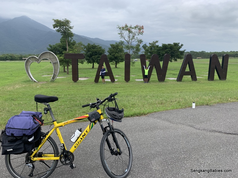
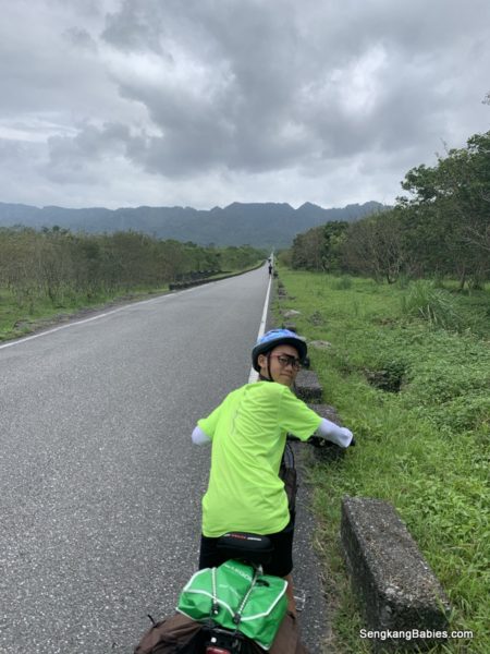
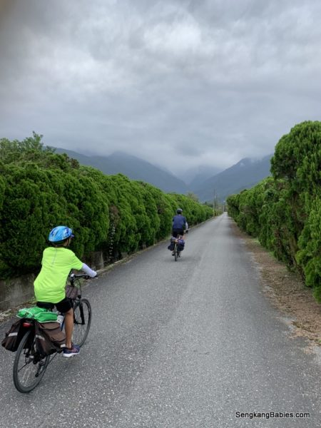
Cycling Ruisui to Yuli, Day 3 brought us to beautiful Hualien East Rift Valley 花蓮花東縱谷!

Personally, this was the MOST SCENIC route on our 4D3N Cycling adventure!

We wanted to go slow and soak in the views and fresh air.
We covered less than 50km from Ruisui to Yuli to Antong ( 瑞穗, 玉里, 安通).

* the full video is at end of page


View this post on Instagram


A post shared by Andy Lee (@sengkangbabies) on

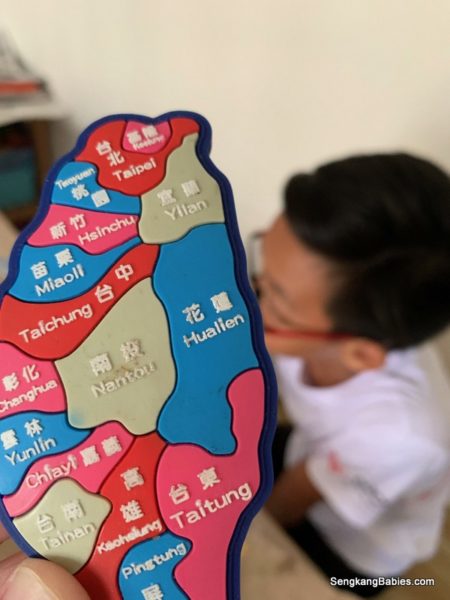
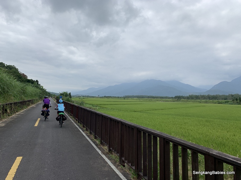
You might want to review our Day 1 journey from Hualien to Ruisui here.  We are still on Hualien East Rift Valley 花蓮花東縱谷, which stretches 150km from Hualien to Taitung.

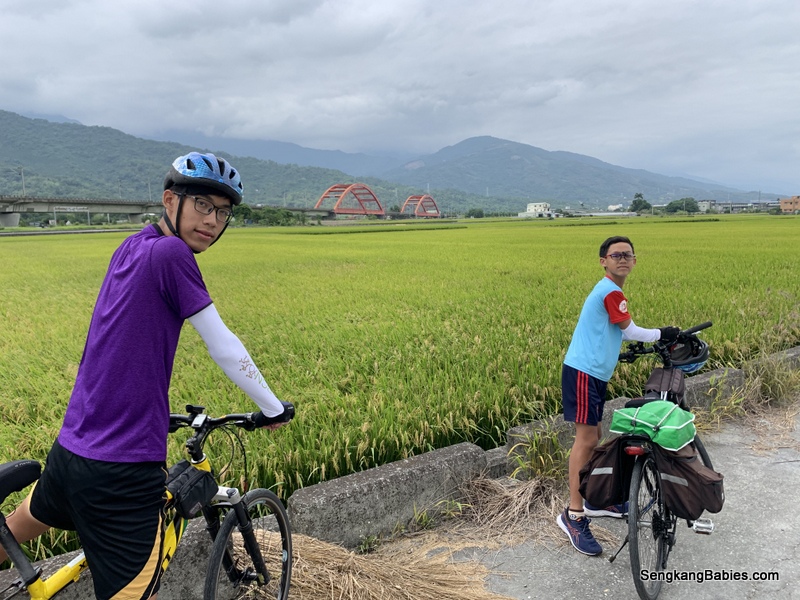
I suspect this area could be Taiwan’s rice bowl, there are so many padi fields! Although many tourists would only remember Chisang’s famous Mr Brown 池上伯朗大道 . Maybe Bento and 金城武 :p

Imagine yourself on a TRA train, the window view would be Yellow, Green or Golden depending on seasons, and Blues (sky and ocean) So Romantic!

More photos on Taiwan Tourism website or this Instagram Erv_IG account (花東縱谷_官方).

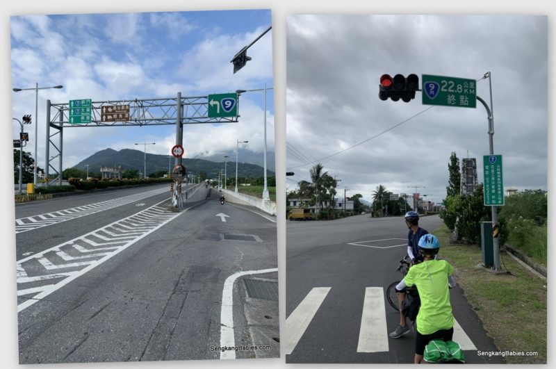
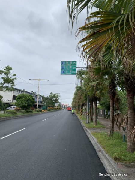
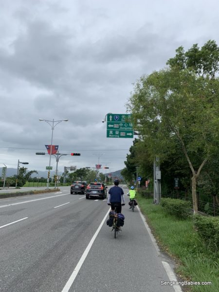
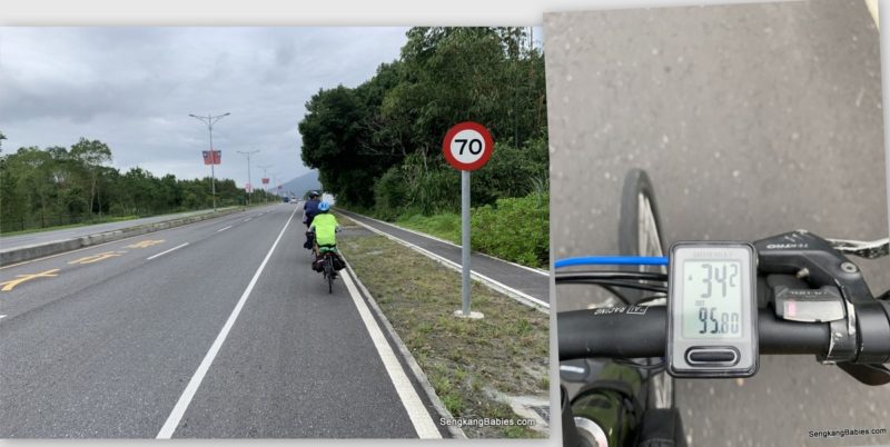
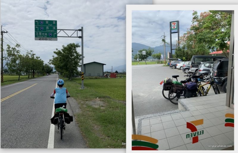
Anyway, we followed GPS and headed South on County Road 193. This road runs parallel to Highway 9 (in Hualien), and actually starts at Xin Cheng 新城.

Internet would recommend the 20km stretch between Ruisui and Yuli as the Best segment.

Bicycle panniers packing

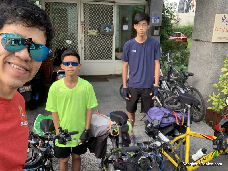
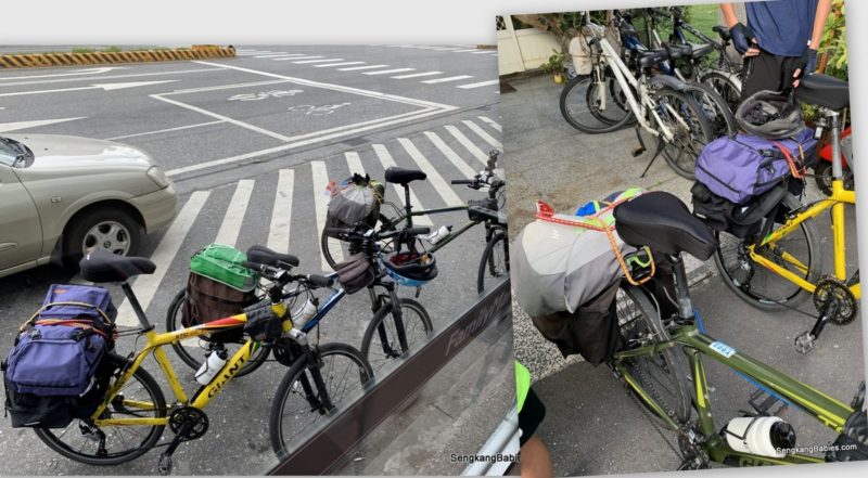
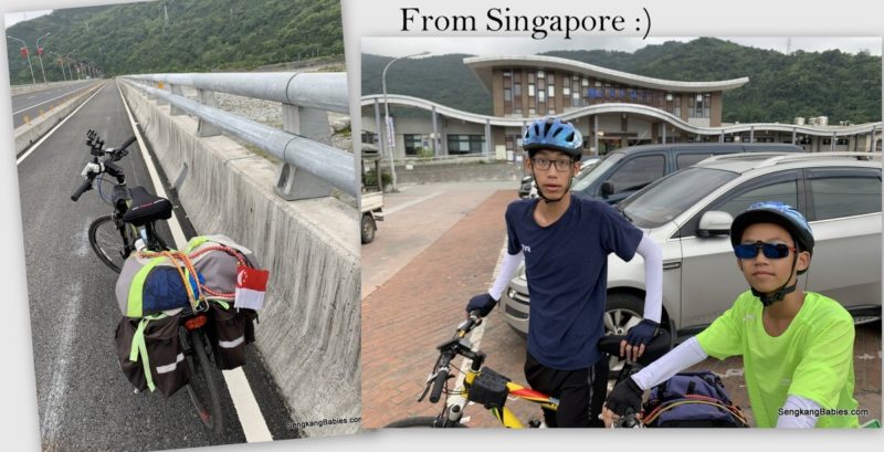
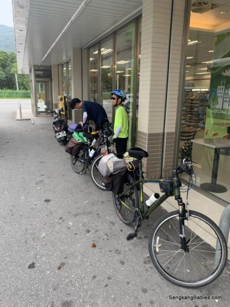
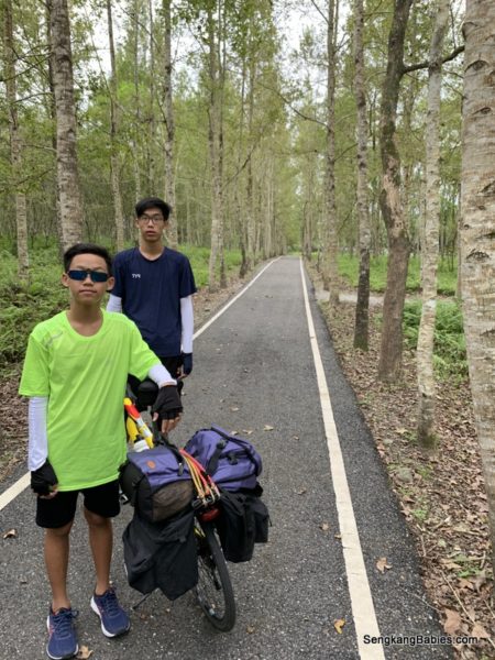
On a side note, kids can now pack their panniers faster.

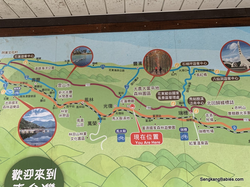
Click on our custom map for the attractions on East Rift Valley

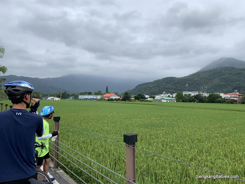
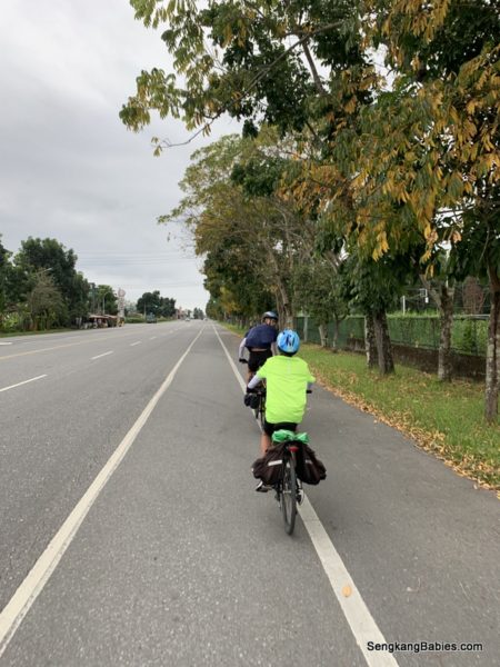
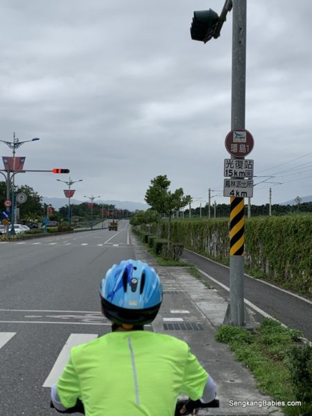
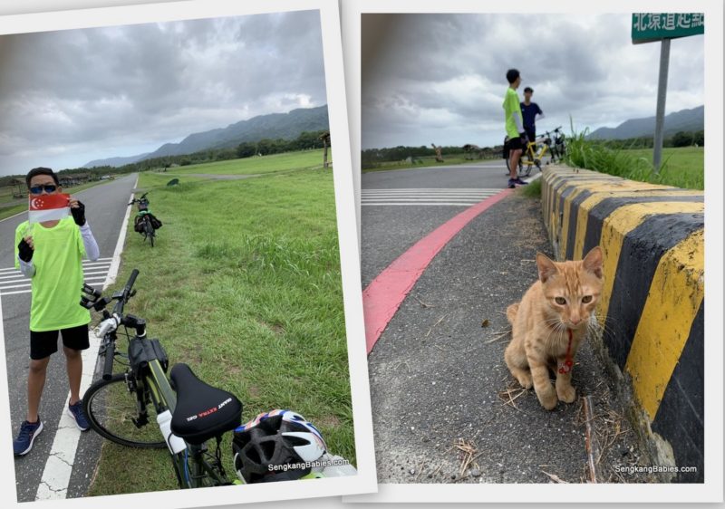
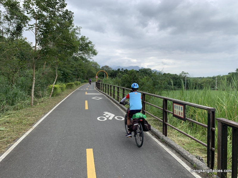
Within 5km from our start, Green Fields greeted us already!

Cycling Ruisui to Yuli

Fresh air!

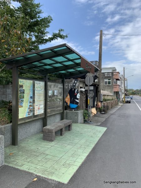
Courtesy stop at Police Station 花蓮縣政府警察局玉里分局春日派出所 . Refill our water and toilet break. Police stations are pit stops for cyclists 🙂


Many small towns will have these cute landmark drawings. Even the bustop has a cute black bear decoration.

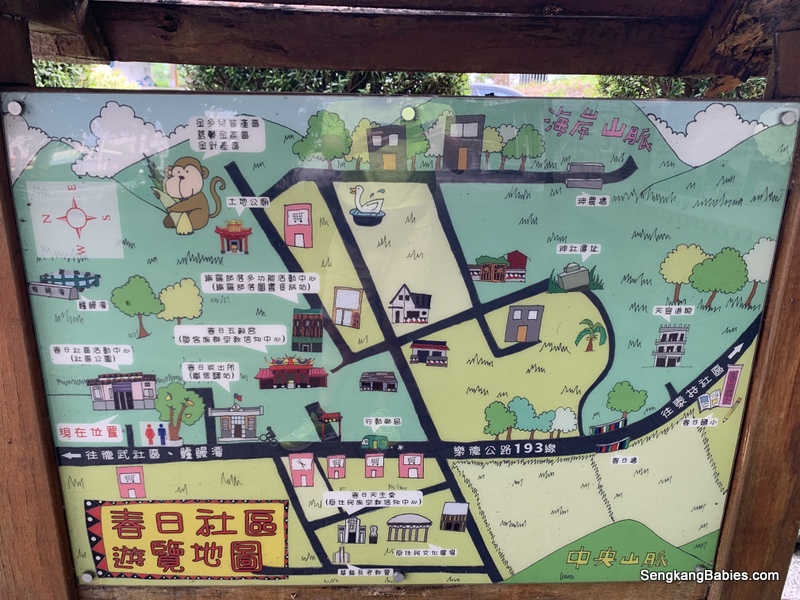
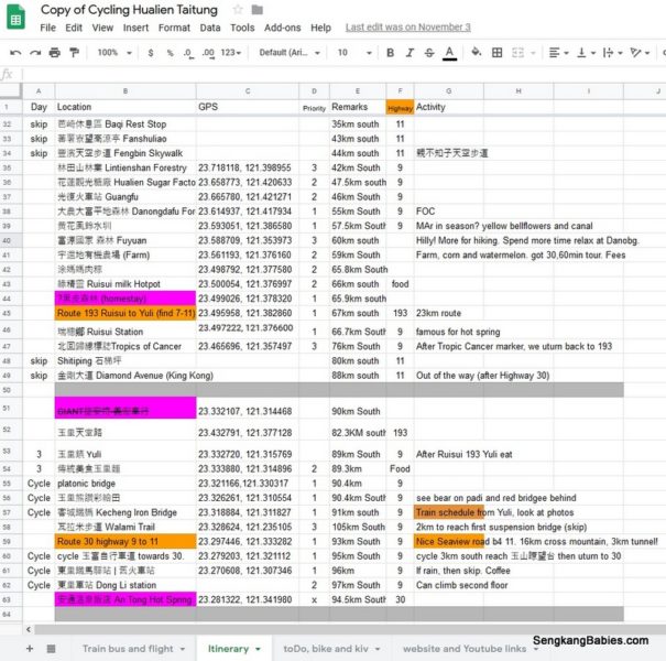
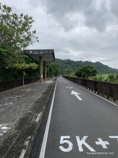
Before we proceed further, most of the attractions on this post would be listed in our Google Sheet itinerary. The distance marker are relative to Hualien Train Station.

With a name like 玉里天堂路 (GPS 23.432846, 121.377370 ), we could not want to miss this spot.

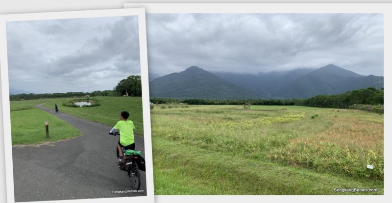
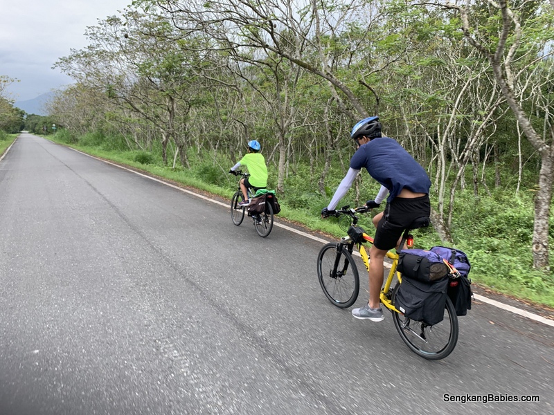
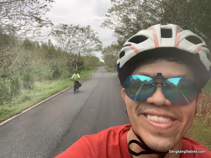
Winding road, only green plains and mountains. Let the wind blow against the lush stalks.

台灣稻草田
台灣稻草田

Google will highlight two popular eateries around. 谷悠GuU咖啡民宿 and 米達雞排 (best chicken chop but only for dinner). The former has closed already, too bad for us.

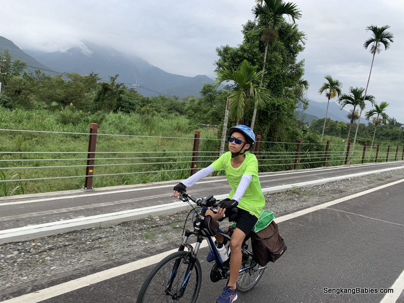
There will be some slopes but gradient is not too steep.

The green fields along us has a calming effect.

赤科山 will be covered by Daylily (金针花) in August September, but would take cyclists a few hours to ascend!

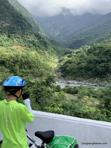
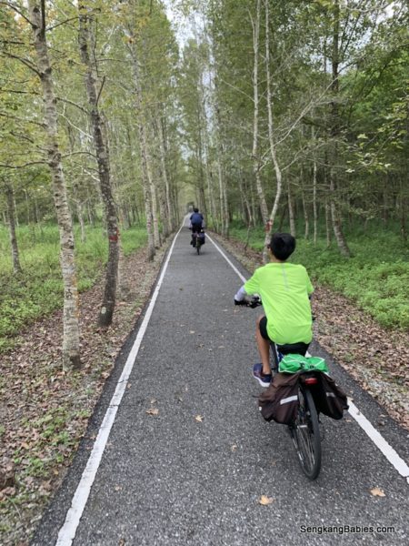
Map below, we are near to Yufu Bikeway 玉富自行車道. From the photo below, the bike route is built over the old train route.

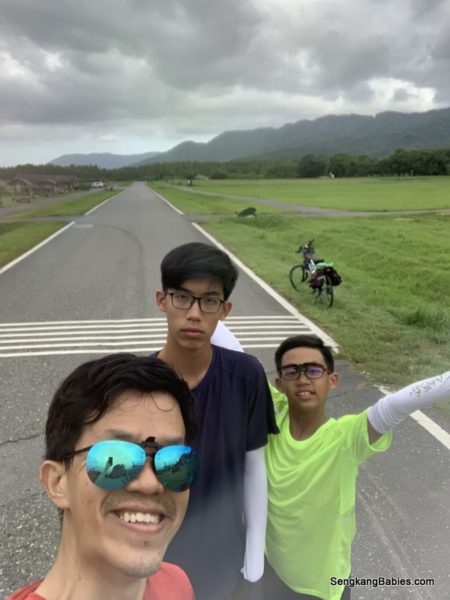
We had one more stopover before exploring further.

Yufu is reputed to be the best cycling track in Taiwan! This bikeways below are exclusive for bicycles, and used to be the old railway track.

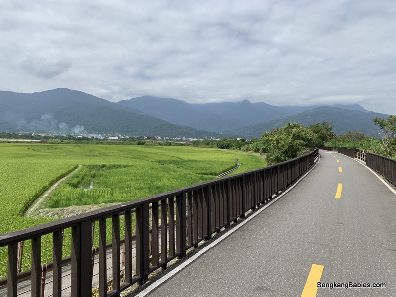
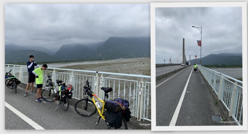
This is the bridge (GPS 23.321188, 121.330339) where you can STEP on two tectonic plates! European and Philippines plates.

Instagram spot.

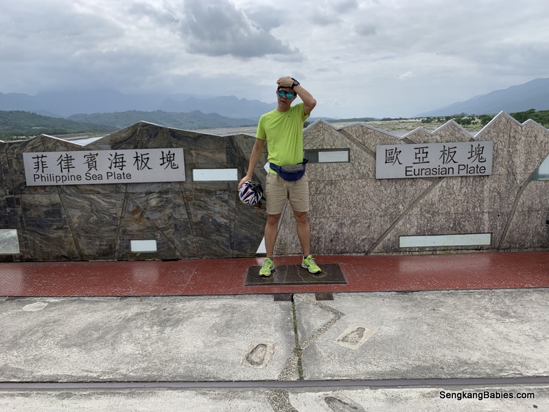
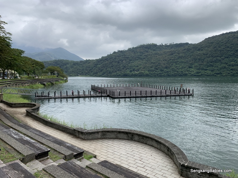
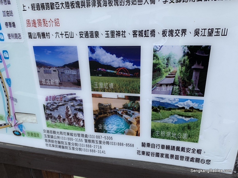
Other attractions near to Yuli. Many would actually stay 2D1N in Yuli to explore nearby attractions.

We had to cross Route 30 (over the mountain) to Highway 11 the next day, thus we missed the following attractions :

關山鎮 (and another famous bikeway, Guangshan 關山環鎮自行車道)
池上伯朗大道 Mr Brown Boulevard
瓦拉米步道 Walami Trail
六十石山金針花海

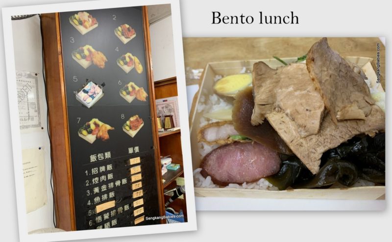
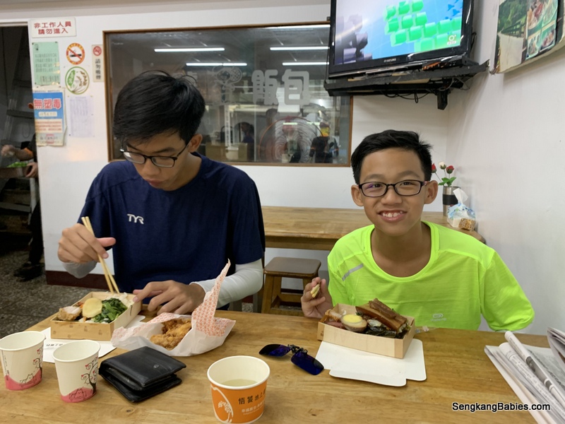
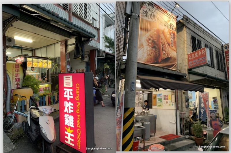
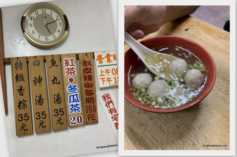
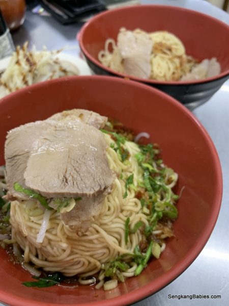
As we have more time today, we headed to Yuli town for their famous noodles.

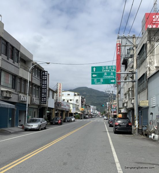
傳統美食玉里麵 . Those from Singapore and Malaysia will find the noodles so so compared to our mee pok 🙂

Do go and try yummy Taiwan version.


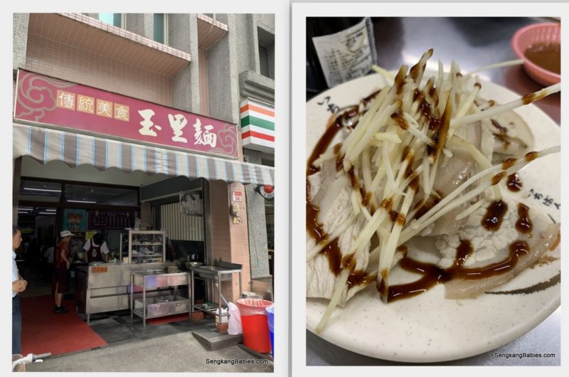
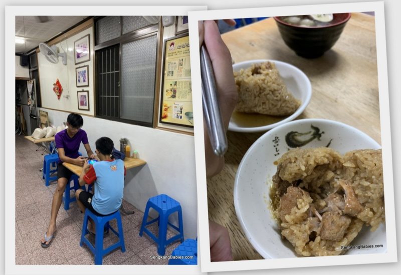
85 degree cafe cake and coffee. We just wanted a cool spot to chill, and the cakes are good too 🙂

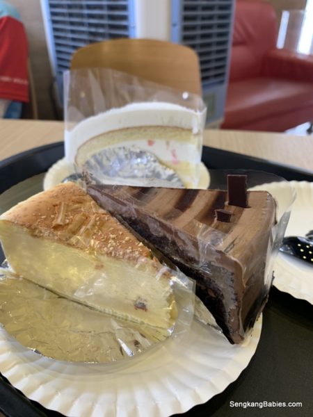
Sometimes kids are to engrossed in their phones, they might not realised if their bikes are stolen! (it is locked if we stay longer than 10 minutes)

Exploring more Fun under the sun, and iconic red bridge in Yuli “客城鐵橋 Kecheng Iron Bridge” (GPS 23.318884, 121.311827).

There are a few angles to capture the bridge, hardcore fans will wait for the trains. We had fun playing tourists 🙂

We hop back on to Yufu Bikeway to explore the other end. This bikeway is 10km one way.

Cutting across two old railway stations (Antong 安通 is in photos below).

This is the other “old” station, Dongli.

..and the new Dongli station 東里車站. The train passing by Keching Red Iron bridge will pass this station too.

東里車站
東里車站

Folks will visit the 2nd level for an elevated view of the padi fields.

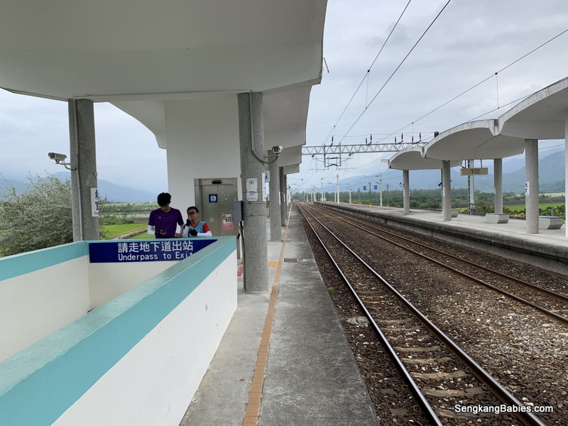
Relive our Cycling Ruisui to Yuli  🙂

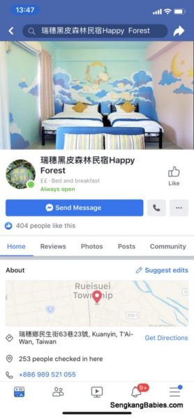
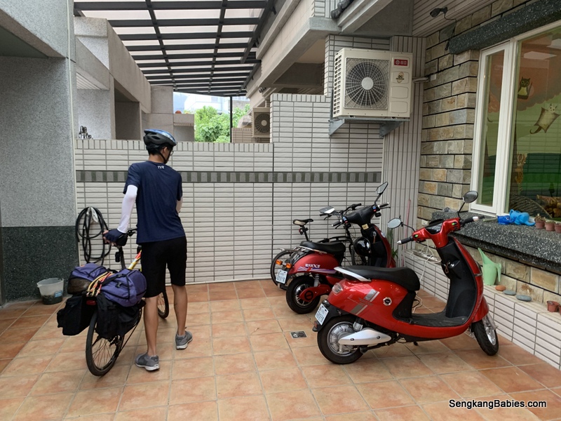
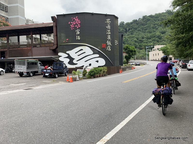
With that, we make our way to the last stop of the day, Antong Hot Spring Hotel. Do take note you have to exit Yufu Bikeway at Antong Old Train Station, refer this Google Map link.

Slope up is quite steep, but Google Map indicate it as flat. I was beginning to doubt our fitness level :p

Fortunately, it is a short 2.4 km.

安通溫泉飯店
安通溫泉飯店

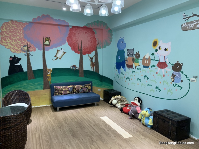
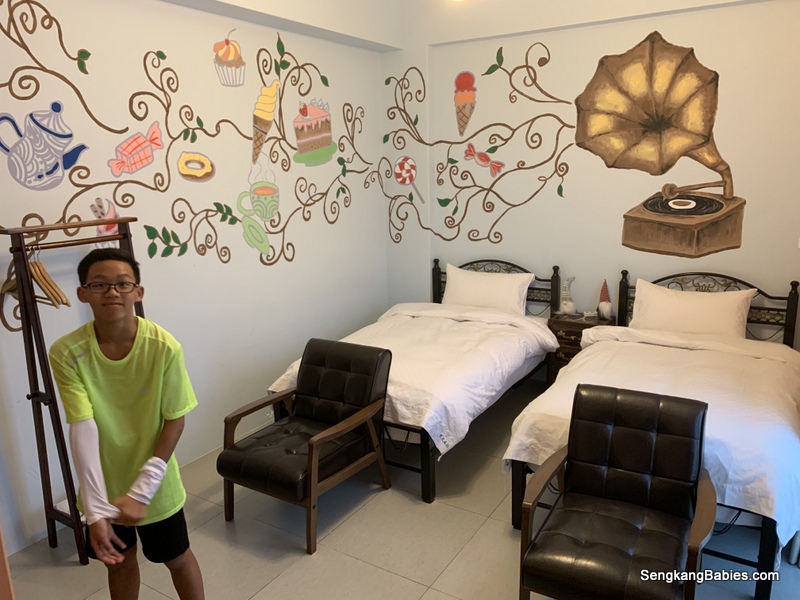
I was there for the hot spring and onsen, but kids found out about the Pokemon Gyms haha.

There are plenty of pools for everyone, and I found it weird that management did not enforce shower cap for visitors :p

Sulphur smell is strong but we got used to it after a while.

We badly need a HOT soak and the hot water soothes our tired legs and shoulders.

Everything met our expectations except two of us got bitten by bed bugs!
Maybe we were unlucky, do take precautions.

Saw a story of how Yuli Noodle became famous.
We had instant noodle in our room 🙂

Be it hiking, cycling or even rafting.  Farms and sightseeing await visitors and explorers.  Hualien East Rift Valley 花蓮花東縱谷 will not disappoint 🙂

More details and photos here -> https://taiwaneverything.cc/2016/05/15/east-rift-valley

Stay tune for more adventures and photos.
Do follow our IG Story too #sengkangbabiesTaiwan #SengkangBabies花東

You may reference our Taiwan cycling posts at this tag SengkangBabies花東 : *Google Sheet itinerary (GPS inclusive)

*4D3N Cycling itinerary and summary
-Day 1a-Hualien-Taiwan Railway Online booking
-Day 1b-Hualien-Taiwan Giant bicycle rental and Hualien attractions
-Day 2-Cycling Hualien to Ruisui (Google Map GPX)
-Day 3-Cycling Ruisui to Yuli, route 193 is SO beautiful! (Google Map GPX)
-Day 4-Antong to Donghe (Attractions along Highway 11) (Google Map GPX)
-Day 4/5 – Surfing at Dulan
-Day 5 – Taitung top attractions, Kaohsiung, Home

ps.. Do follow our Cycling adventures on Instagram hashtag #Cycling

If time permits, check out this 3D bear picture on the paddy field “玉里熊讚彩繪田“. Ask around first as the Drawing would be bare after harvesting :p

Updated 09Dec: Our cycling video is up, love the Greens and blues!
(YouTube link)

Video: Cycling Hualian to Ruisui

Cycling Highway 30,11 Yuli to Taitung

Day 2 Cycling Hualien to Ruisui 花東

Cycling Hualien to Ruisui, this is Day 2 of our #SengkangBabies花東 Taiwan biking adventure. You will find the links to each day’s activities at the end of this page.

Taiwan East Coast Map

Meanwhile, you can checkout our planning Itinerary here (Google Sheet) or our 4D3N cycling summary post.

Video: 80km route, 9 hours on the road (YouTube link)

A rough time estimate of our journey:
-0700 Left minsu
-0900 Liyu lake
-1130 Guangfu station
-1300 Fentian train
-1430 Danongdafu forest
-1600 Reach Ruisui town

You will notice that Highway 9 actually runs along the train line. There are lesser hills compared to highway 11, and we are shielded from  strong coastal winds along highway 11.

0km – Checkout from our minsu homestay

All looking super fresh at 0700. We wanted to start early to avoid the afternoon sun.

Just have to follow Highway 9 towards Liyu Lake.

We had wanted to visit instagrammable 翡翠谷 Emerald Valley, but we lost our way. I spotted the attraction from across the river haha.

(Gopro wifi had hijack my GPS’s hotspot, leading us to the wrong track)

Otherwise, take note this “waterfall” is a 15 mins easy trail. You will need to secure your bikes and bags before you track up.

There are a lot of mild uphill slopes after we left Hualien town.
The climb towards Liyu Lake was unexpectedly tough.

Be alert along this stretch of road (GPS 23.942526, 121.543420) .

For about 2km, there is only single lane both ways and no dedicated bike paths. You might encounter a lot of coaches. Do look out for cars overtaking from the opposite lane too.

Liyu Lake
Liyu Lake

鯉魚潭 Liyu Lake is actually a detour from Highway 9. But it is a nice spot to take a break. We are following the Hualien Taitung route recommended by Hualien Adventure. More details here.

20km Liyu lake is the biggest lake in Eastern Taiwan.

Our first pitstop for the day, enjoying our biscuits with a nice view. If time permits, you can cycle around the lake too.

After Liyu lake, it will be 90% downhill. YES!

Pitstops

Whenever we are tired or hungry, we will just stop at 7-11 or Family Mart. A 20min rest is enough to recharge us for one more hour. I need to ensure kids are properly hydrated every 15 to 20km.

Besides beverage and food, there are toilets at these convenience stores. And of course AIRCON!

We normally take a window seat, and we felt safe enough not to lock our bikes.

Cycling Hualien to Ruisui

We also take short breaks whenever we spot nice scenic views. And there are PLENTY of green valleys in East Rift Valley 花東縱谷!

Weather was extremely good to us. Forecasted rain clouds drifted away before our arrival. It would definitely be more challenging (and dangerous) to cycle in wet conditions.

Temperature was only 26 27 degrees but we still got a tan.


40km Lunch at Fenglin

Bento at 悟饕池上飯包(Fenglin township). This store is popular with locals, we saw many folks takeaway the bento meals.

3 hours+ on the road, 12pm. We were famished and finished up all the delicious morsel.

Road sign below indicate 120km to Taitung end point.

The distance between Hualien 花蓮 and Taitung 台東 is either 165km (Highway 9) or 171km (Highway 11). Refer Google Map here.

We end up cycling 250km due to detours and exploration 🙂

We plan an easy tour, and covered the distance in 4D3N, instead of 3D2N. We wanted to do some sightseeing instead of rushing through.

(Refer our embedded Relive Video, 自行车环岛)

You may decide whether to cover between 40 to 100km per day.
Own Time Own Target 🙂

Boon Wee (no1) is my trusted navigator. I just give him a destination and he will lead us there.

50km Stop over near Guangfu station.

Cycling Hualien to Ruisui 瑞穗, we are over the halfway point.
System check. Bike ok, cyclists ok, we are confident of reaching Ruisui 4pm.

Sun sets around 5.30pm and we did not want to cycle in the dark.


Original plan was to cycle 60km, but we stretched it to 80km!

7-11 after Guangfu station. We only booked our night accommodation 20km away from Ruisui!

I had to book it so late as I could not confirm whether Ruisui (or maybe Guangfu) would be more suitable. Fatigue, weather and daylight conditions, there are too many things beyond our control.

I have listed more accommodation booking dilemma on this Blog post.

Our minsu name is Happy Forest (through Booking.com). I suspect owner tried to do a direct English to Mandarin translation, thus Happy=黑皮 森林!

I am sure the friendly boss has nothing against Blacks 🙂

From the previous 花東 images and videos,  you would noticed the dedicated motorcycle and bicycle lanes.

The bicycle lane gives cyclists more space and drivers generally overtake with a wide margin. Kudos!

We are on the same track as Taiwan’s Round Island Route 1.

60km大農大富平地森林 Danongdafu Forest Park. We had decided to detour as we had seen plenty of beautiful images on social media.

Greens and mountains surround us! Mist would cover the peaks too.
The lanes inside this park are only for bicycles and motorbikes.

You will spot some curated art decorations.  Enjoy the fresh air and expanse, We spent almost 45 minute in this lovely park.

Personally, this wooded corridor is the most scenic spot. Try popping by during autumn and the pavement would have layers of brown fallen leaves.


FREEDOM. JOYRIDE. This is our Cycling Hualien to Ruisui experience 🙂

Highway 9 speed limit is 70kmh at this stretch, and we are traveling at 35kmh. Not bad 🙂

80km, reached our minsu Happy Forest.

The scooter is available for guests, FOC 🙂

Love the colourful and cartoonist interior.  This must be the theme for Happy Forest haha.

Took a quick shower before heading out for dinner. I could not wait to lie down on my comfortable bed.

Hungry and tired. We had already shortlisted some famous food nearby. We are less than 400m from nearby popular food joints.

涂媽媽肉粽 has good Google Reviews. Generally, any F&B with “媽媽” are popular :p

Value for money and tasty treat, but we still prefer Singapore’s bak chang (more flavourful).

In our comfy slippers.

綠精靈, Google also highlight Ruisui’s famous milk hotpot.

Ruisui famous food
Ruisui famous food

Ordered two portions. We heard the lamb version is popular but we chose the safer pork set. Yummy 🙂

Ruisui town is also famous for their hot springs 泡湯. We gave it a miss as we will be heading to Antong 安通 on Day 3.

Headed back for an early rest after dinner. 80km is no joke and the kids seem to recover faster than me.

We must be super tired, Boon Yee (no3) commented the next day that Daddy and No1 snored so LOUDLY!

Stay tune for more adventures and photos.
Do follow our IG Story too #sengkangbabiesTaiwan #SengkangBabies花東

You may reference our Taiwan cycling posts at this tag SengkangBabies花東 : *Google Sheet itinerary (GPS inclusive)

*4D3N Cycling itinerary and summary
-Day 1a-Hualien-Taiwan Railway Online booking
-Day 1b-Hualien-Taiwan Giant bicycle rental and Hualien attractions
-Day 2-Cycling Hualien to Ruisui (Google Map GPX)
-Day 3-Cycling Ruisui to Yuli, route 193 is SO beautiful! (Google Map GPX)
-Day 4-Antong to Donghe (Attractions along Highway 11) (Google Map GPX)
-Day 4/5 – Surfing at Dulan
-Day 5 – Taitung top attractions, Kaohsiung, Home

ps.. Do follow our Cycling adventures on Instagram hashtag #Cycling


Do pop by link 1 and link 2 to explore everything else about Hualien!