RIR cycling map

This post covers the full route of RIR (Round Island Route) 75km, I have added in our Strava RIR cycling map too.

Refer to our first post for more details and GPS.

Our YouTube video is at this link.

Tip 1.
Our latest RIR cycling map is at this Strava map . Just open link in Google Map and follow turn by turn.  (You may browse our first Strava map, showing half of 75km, for points of interest).

The 75km route should take you 5 to 6 hours easily, including breaks, navigation and photo stops.

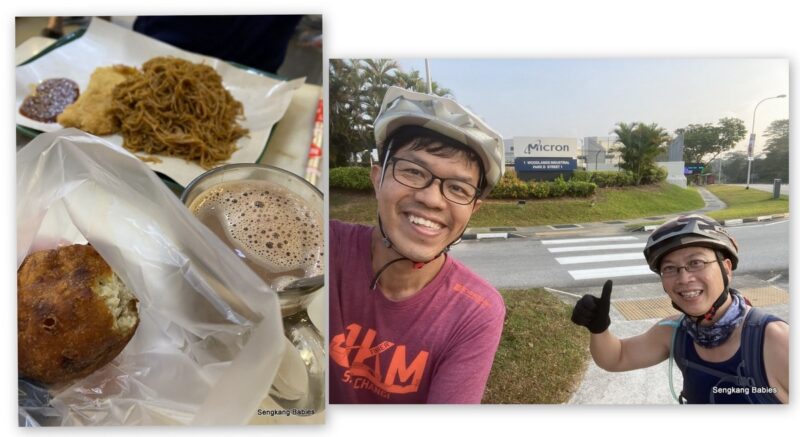
Group of four (E, A and J) started at Rower’s Bay.  Nice weather to start the ride, but it quickly turn warm.

Do cover RIR during daytime to admire all the sights and amenities (slap on generous sunscreen!). Otherwise, you will only see darkness at night :p

(Image credit friend)

Stake this Jalan Kayu spot (GPS 1.405991, 103.872001) to enjoy a mist carpet at 0700. When we returned at 0730, the Sun was raising higher, and mist has started to dissipate.

The new PC (Park Connector) is wide and I love the bridge at the end. You no longer need to cycle on the road and avoid buses or pedestrians (bus stop).

Tip 2.
Take note the segment along Jalan Kayu (food area) is very narrow, and packed with pedestrians. Go slow. (Optional. My Strava map has a shortcut)

This new bridge is appearing too frequently in Facebook and Instagram (GPS added in previous post).

Notice the identical bridge designs, be it at Jalan Kayu, Sengkang or Changi. Wide, functional and aesthetic.

Tip 3 to 6. Refer to Nparks map.
-After Lorong Halus Bridge (PCN), turn into Pasir Ris via new pavement 

-Official Pasir Ris (RIR) exit is after Downtown East (GPS 1.377841, 103.956147) but we exit at Car Park A to avoid the crowds

-We took shortcut (before Mosque) and cut behind Tua Pek Kong temple. Official track is to CLIMB Pasir Ris Drive 3 and Loyang Ave.

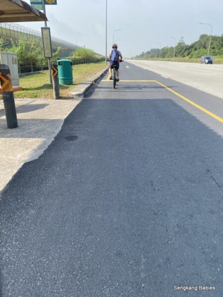
-Nparks map indicate left-turn into Hendon camp road and connect to Changi Beach Park. Most will actually cycle straight towards Changi Village. (If comfortable, cycle on the road along Netheravon Rd as pavement is narrow and bumpy.)

If you follow my RIR YouTube below, the description timestamp will show the clips of shortcuts and entry points.

We did noticed significantly more walkers and cyclists on our second trip along Changi Bay PC. Round Island Route is gaining more followers 🙂

Tip 7. Do take note of dogs.
They mostly leave humans alone, but we saw a black dog ambushing and chasing a lone cyclist :p (Just stay calm and slow down)

New bridge Changi Bay PC (Image credit friend)

Do take note that it is more scenic and shady to reach Changi Bay PC from Changi Village (instead of through East Coast Park and TMCR).

Spotted starfish under the bench. Go find octopus, squid and Jellyfish too.

Tip 8.
Along TMCR (Tanah Merah Coastal Road), remember to turn left and head towards Coastal PN. If you are cycling on road, you might miss the entrance.

After TMCR and ECP, we had a lunch pitstop at East Coast Hawker Centre. Avoid the popular duck rice if you are rushing for time. (Expect to wait up to 30min. Duck rice is tasty though).

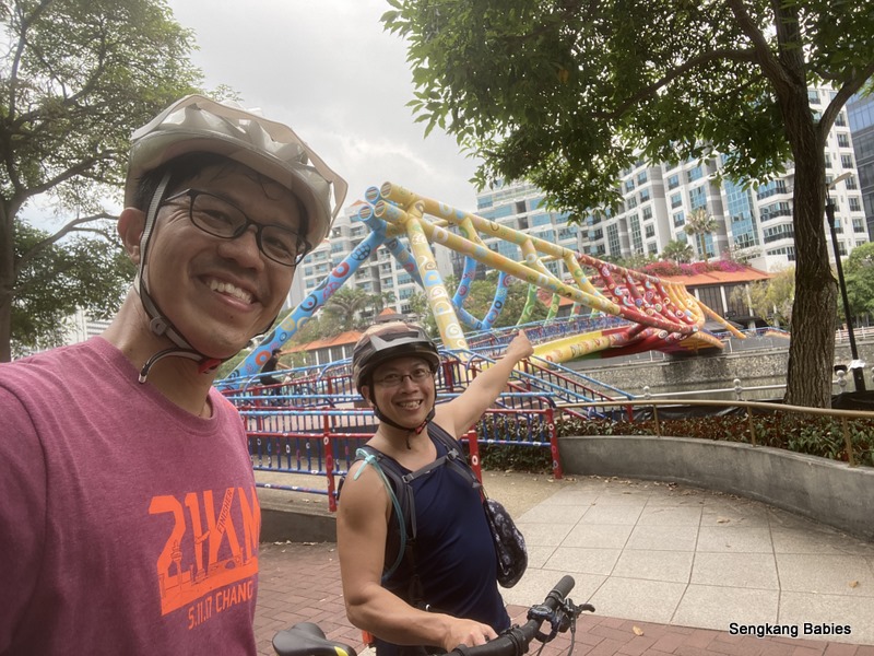
Passed by Marina Barrage, Gardens by the Bay then photo-op at Arts Museum before we crossed Helix Bridge.

Follow Singapore River West along Alexandra Park Connector (official name is Alexandra Canal Linear Park)

This 6km segment follows the canal, and stretched from Clarke Quay to Queenstown MRT (refer Google Map). First timers will need to slow down at junctions and execute some tight turns to join the PCN segments. And Clarke Quay is always crowded.

Alexandra Park Connector canal
Alexandra PCN

Loves the green “curtain” along the canal. Really gives a touch of nature to the concreate surroundings.

From here, we navigated narrow PCN from Queenstown to Alexandra road before we reach Labrador Park. Refer our Strava map for reference navigation.

Tip 9. We would recommend that you take the pavement and PC (Park Connector) opposite of Alexandra Hospital.

Cycling to Labrador Park

We travelled on the side of Alexandra Hospital, and road was narrow and so much minor roads, bustops and junctions.

Although Labrador Park (Berlayer Creek) is the end point. We could not find any RIR navigational signs. #NoCongratsSigns :p

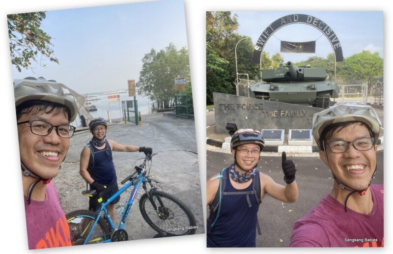
We are just Happy to complete the full Round Island Route.

Passed by Merlion Singapore on the way home (Image credit friend)

Tip 10.
Do refer to our full RIR cycling map (Strava map here). It will help you to identify and maybe pinpoint the turns along Round Island Route.

Additional tips for new riders:

– No need to stick 100% to Nparks map. It is ok to detour a bit, for a more relaxed cycling experience or sidetrack to photograph nearby attraction

– Research more PCN (Park Connectors ) at Nparks website
– We love Coast to Coast trail too (40km)

Let me share a few toilet points (and water coolers) along the route: (clockwise direction)
Rower’s Bay
Sengkang Riverside Park
Punggol Waterfront
Lorong Halus
-Many Toilets in Pasir Ris Park
-Changi Point Ferry Terminal
Changi Bay PC (last one before TMCR)
Changi Coastal (toilet only no water cooler)
East Coast Park
Marina Barrage
-I am not familiar with the restroom locations from Clarke Quay towards the end

-If you love cycling RIR, you will love our Taiwan cycling experience
(Click for 4D3N Hualien to Taitung)


ps.. in case you prefer walking to cycling, there is another RIR Route (150km).

Crafted by SGTrek, do find the materials and map here. A few of us #DaddyMatters had completed the first segment from Kranji to Canberra MRT. Do PM/email me if you need more details.

Cycle West Singapore 80km-Training for RTI

Last weekend, I followed Randy to cycle West Singapore for 80km. Slowly but surely, I am training towards 100km and first RTI ( 125 or 150km Round the Island).

(RI trip completed May 2021, read here. You may wish to read our North 50km and East 80km cycling trips too)

Our route covered 80km (90km for Randy) and includes four short breaks. We did take some photos at scenic spots. (Must enjoy your ride journey and have happy memories)

Cycle West Singapore 80km

RIT for me is not for personal glory, but sort of a bucket list.
We know we can do it physically, but we need to commit the time (actual day and mileage) to achieve our goal.

No need set time limit, nor personal best, just aim for completion and a sense of achievement.

On that note, East side (Tanah Merah Coastal road) is definitely easier to navigate compared to the slopes along Kranji, Lim Chu Kang or old Choa Chu Kang.  East side (From Pasir Ris to TMCR to ECP) has beautiful and wide pavements (PCN). TMCR has dedicated bike lane too!

Relive video:
*
*Strava and Relive to capture your bike trip

West side some sections do no have pavement nor PCN (yet), and you will encounter more trucks and dogs too!

01 Break at Causeway Point

Our ride brought us from Sengkang-Seletar-Yishun-Canbera-Woodlands-Kranji-Lim Chu Kang-Jurong West-Bouna Vista-River Valley-Bugis-Kallang-Macpherson-Sengkang

Estimated timing/checkpoints:
0600 Setoff Sengkang
0715 Sembawang Canberra (17km)
0745 Causeway point 20 min break
0850 LCK Jetty (40km)
0950 Lakeside MRT (50km)
1000 Mcd Jurong East (15 min)
1130 Queentown Petrol staton (5 min)
1220 Bugis (70km)
1320 Sengkang (85km)

Sungei Gedong Armour
02 Lim Chu Kang Jetty and Sungei Gedong Armour HQ

For first timers to west side, you should attempt Kranji and Lim Chu Kang only during weekends. There are no pavements and a lot of trucks will be playing the roads during weekdays!

a)Vehicles wise, roads there are relatively quieter Saturday or Sunday but expect hundred of cyclists 🙂

b)Beside the trucks, the slopes along LCK are killers and will really whack your calves. Better ensure you have enough water (hydration and no full bladder). I did not spot any public toilet or coffeeshop for a good 20km (Kranji to Jalan Bahar).

c)Hardcore folks will cycle 3am or 4am too, but the cemeteries look spooky at night

d)There is higher chance of being chased by dogs rather than ghosts. If you do encounter dogs, some experts will recommend out-pacing the dogs by cycling above 40kmh! My foldie max is only 30kmh so I can only go for next options.

Slow down, and dogs will find you too-boring to chase. Otherwise, dismount and pretend to throw a rock. (PRETEND only, otherwise someone might complain dog abuse)

Disclaimer. Please do not blame me if above dog-panic steps fail. I would panic too if a crazy dog threatens to snap at my heels

Fyi. Lim Chu Kang road will become a runway for F15 and F16 during an emergency, do read our 2016 Ex-Torrent blog post.

Back to two wheels, just cycle straight along LCK towards Jalan Bahar, Jalan Boon Lay. You can break at Lakeside or Chinese Garden area. We continued to Jem.

Turn left towards Lakeside Garden (and MRT) at this junction (GPS 1.337888, 103.710052). Just cycle under 10 minutes to reach Lakeside MRT, and you can head towards Jem (Jurong East MRT).

After Jem, turn right at this junction along Boon Lay Way (GPS 1.328629, 103.749727) and just follow the canal ( Ulu Pandan Park Connector)

With respect to Bouna Vista direction, the right side path of canal is more “scenic” and cooling.

03 Temporary path next to Chinese Garden, and Jurong East MRT (2nd break)

Special mention to garang Randy. He keeps motivating me and is my navigation guru, and he does not need Google Maps!

Really helpful to have him around as I am quite poor navigating the West Side of SG.

Old Railway bridge.

Follow canal all the way towards Bouna Vista and Holland Village. Go straight towards Queenstown. Ulu Pandan PCN is about 6km.

Turn Left “small path” (GPS 1.294833, 103.806194) before Queenstown MRT to go along river “Alexandra Canal Linear Park” PCN.

Follow river to Clarke Quay and Boat Quay, look out for pedestrians. There are at least 4 or 5 small junctions to cut across, but route is quiet and cooling as you cycle in between flats and condos.

Colourful Alkaff bridge

From here on, we cycled towards Bugis and Kallang Park Connector.

We were fortunate as the day was warm and not too hot. Nevertheless, 80km took me 7 hours to complete (including breaks).

Back to Sengkang Neighbourhood

Referring to the coast-to-coast map below (credit Straits Time url), we are excited about new upcoming trails across Singapore.

-Does it mean Kranji and LCK will be more cyclist friendly?
– Looking forward to RIR (Round Island Route) as it means we can explore more without cycling on roads

singapore new coast to coast trails
Singapore new coast to coast trails

While we ride, do not forget to enjoy the ride and scenery. Every kilometre is a milestone, a memory.

This post shares Cycle West Singapore 80km, next posts will share Cycle East side 🙂

Sharing some other related posts to trails or Lim Chu Kang below:
-RSAF Ex-Torrent 2016 (LCK runway)
-More details and landmarks about Park Connectors (PCN) at nParks link
-Coast to Coast Walk 42 km from Lakeside to Punggol

SengkangBabies cycling
-Cycle 70 km East, TMCR (link)
-Cycle 80 km West, Lim Chu Kang(link)
-Cycle to Woodlands and back for 50km (link)
-Cycle 50km to explore 3 Reservoirs and 3 parks
-Completed Round Island 140km!  (Click for GPX routing)
-Cycle 20km to Green Corridor (or Marina Bay and Sportshub)

*Read MTB\RoadBike\Foldie selection, & Foldable bike shortlisting
-Follow my family’s cycling experience here .
-Instagram SengkangBabies #skbCycles